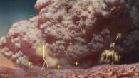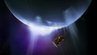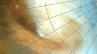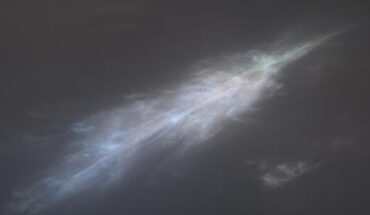
‘Sun rays’ are also known as crepuscular rays, from the Latin word for twilight. It was the first time sun rays have been so clearly viewed on Mars. This feather-shaped iridescent cloud was captured just after sunset on January 27, 2023, the 3,724th Martian day, or Sol, of Curiosity’s mission. Image credit: NASA / JPL-Caltech / MSSS. “NASA’s Curiosity rover captured the scene during the rover’s newest twilight cloud survey, which builds...
Planetary Science News