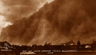
Using a reconstruction of North American drought history over the past millennium, a team of researchers from NASA and the Columbia University’s Lamont-Doherty Earth Observatory has found the Dust Bowl drought of 1934 was the worst – about 30 percent more severe than the runner-up drought (in 1580) and extended across 71.6 percent of western North America. A ‘black blizzard’ dust storm in South Dakota, 1934. Image credit: National Archives...
Other Sciences News