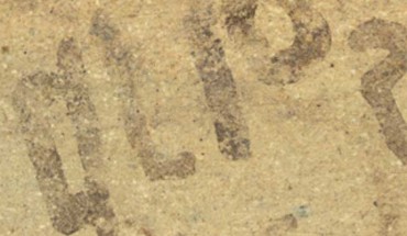
A team of archaeologists from the Austrian Archaeological Institute and the Hebrew University of Jerusalem’s Institute of Archaeology has discovered an inscribed sherd at the site of Tel Lachish, which is located in the Shephelah region in modern-day Israel and is one of the most prominent Bronze and Iron Age sites of the Southern Levant. Dating to the 15th century BCE, the newly-discovered inscription is currently the oldest securely dated alphabetic...
Archaeology News