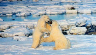
High resolution satellite imagery is a very promising tool to track the distribution and abundance of polar bears, say Dr Seth Stapleton from U.S. Geological Survey and his colleagues. This satellite image shows polar bears on Rowley Island, Nunavut, during late summer, 2012: polar bears – yellow circles; landscape features, including rocks and substrate – red arrows. Image credit: DigitalGlobe. Development of novel techniques for monitoring...